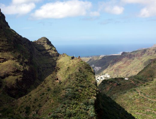
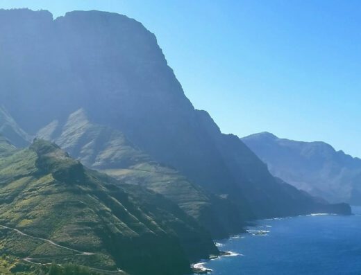
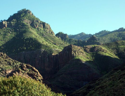
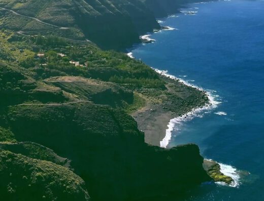
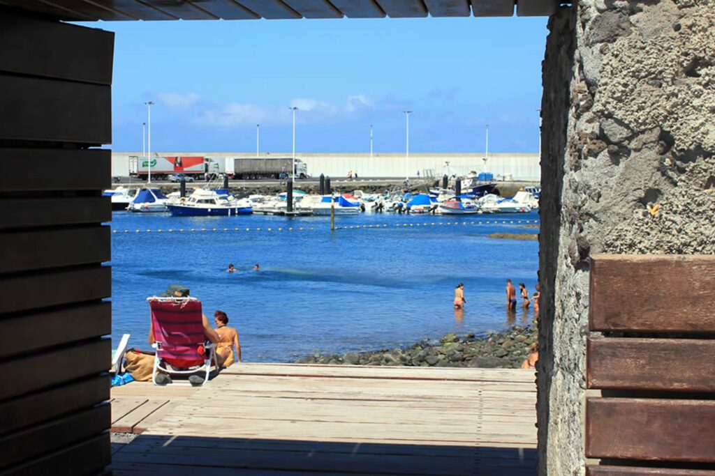
Mountains The Natural Park of Tamadaba is one of the wildest territories on the island of Gran Canaria
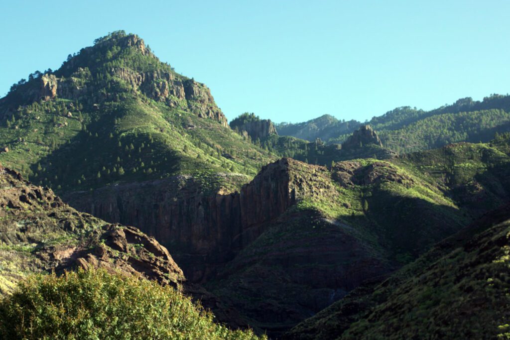
Tamadaba Natural Park
The Tamadaba Natural Park has a size of 7,500 hectares and covers the municipalities of Agaete, La Aldea de San Nicolás and Artenara, it is a protected natural area and since 2019 it has been part of the cultural landscape of the Risco Caído and sacred mountains of Gran Canaria and is made it a UNESCO World Heritage Site.
Hiking trails in Agaete
The wide range of ravines, escarpments and massifs of this area full of contrasts allows anyone to identify natural elements of remarkable geomorphological interest during your hike.
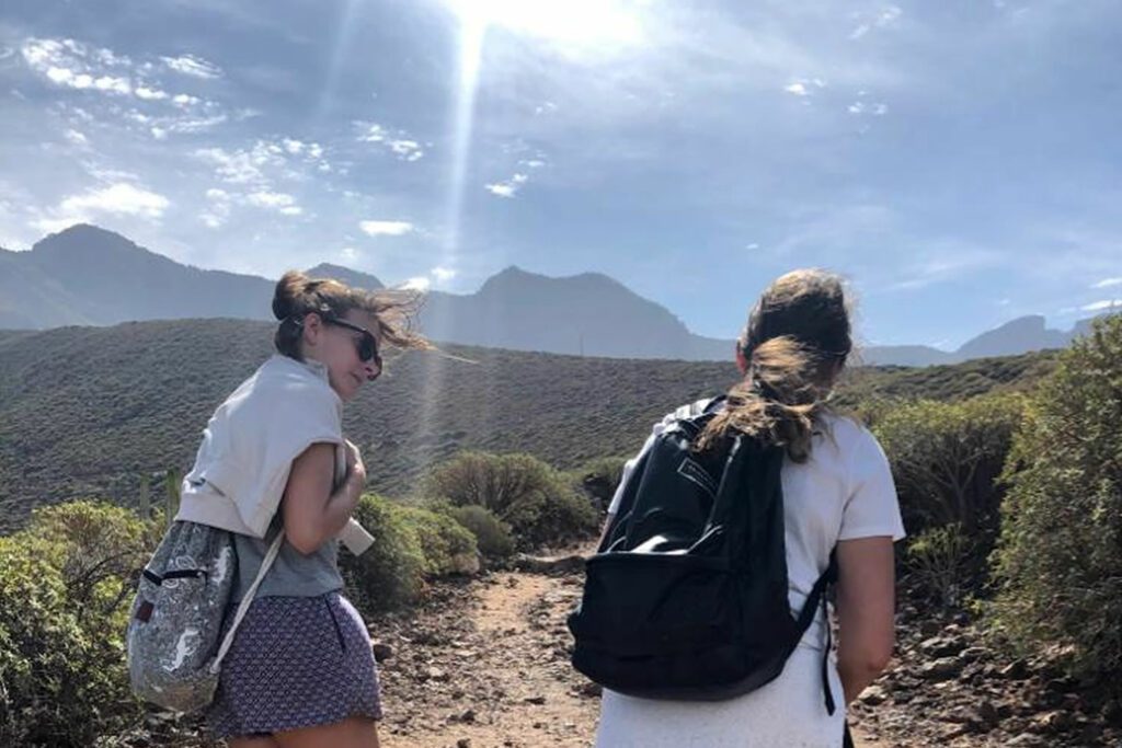
There’re several hiking routes starting from Agaete. Many visitors come to the Canary Islands thinking about the good temperatures and the beach, however these mountain routes will surprise you with their beauty.
Do not forget to always carry water with you and avoid the hottest days of July and August. The rest of the year you can walk without any problem along these wonderful trails.
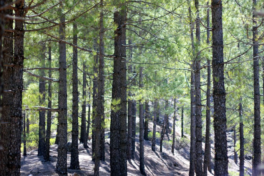
Canarian pine forest
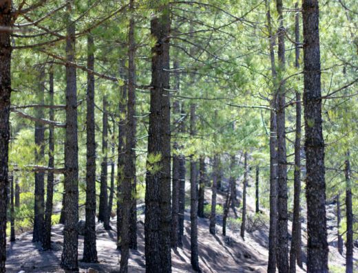
In Tamadaba there is one of the best preserved natural pine forests of the island, of remarkable efficiency in the hydrological catchment, as evidenced by the presence of several artificial dams in its environment. Other well conserved biosystems are those of ravines, cardonals and tabaibas of low zones. In the cliffs of Guayedra there are several threatened species, some of which are exclusive to this place. In addition, certain species of endemic and threatened birds find nesting areas in the pine forests.
The Canary Island pine (Pinus canariensis) resists almost everything, including fire. You have read correctly the Canary Island pine is reborn after a fire. Isn’t that amazing?
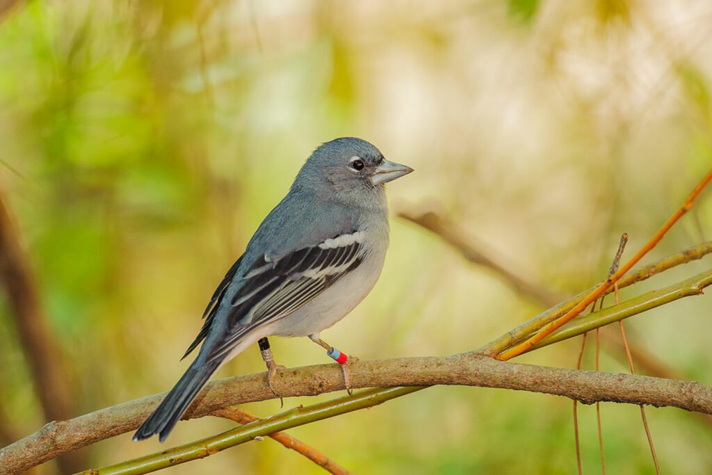
Gran Canaria blue chaffinch
Pinzón Azul
It is an endemic bird of the Canarian pine forests in critical danger due to the threat of fires in its habitat, such as the one that occurred in 2007 in Inagua and 2019 in Tamadaba, which left the blue chaffinch on the verge of extinction.
This small bird is one of the most emblematic animals of Tamadaba and is an important indicator of the environmental health of the natural park. There are different projects to protect this endemic jewel of Gran Canaria. In general they live at an altitude of 1,000 m to 2,000 m although they can sometimes be seen at lower levels.
List of all the Hiking Trails in Agaete
The next listings are located at the starting point and you'll have a description of the full trail.
This map shows where the hiking trails are.

